Understand Klang Valley transit on a geographic map.
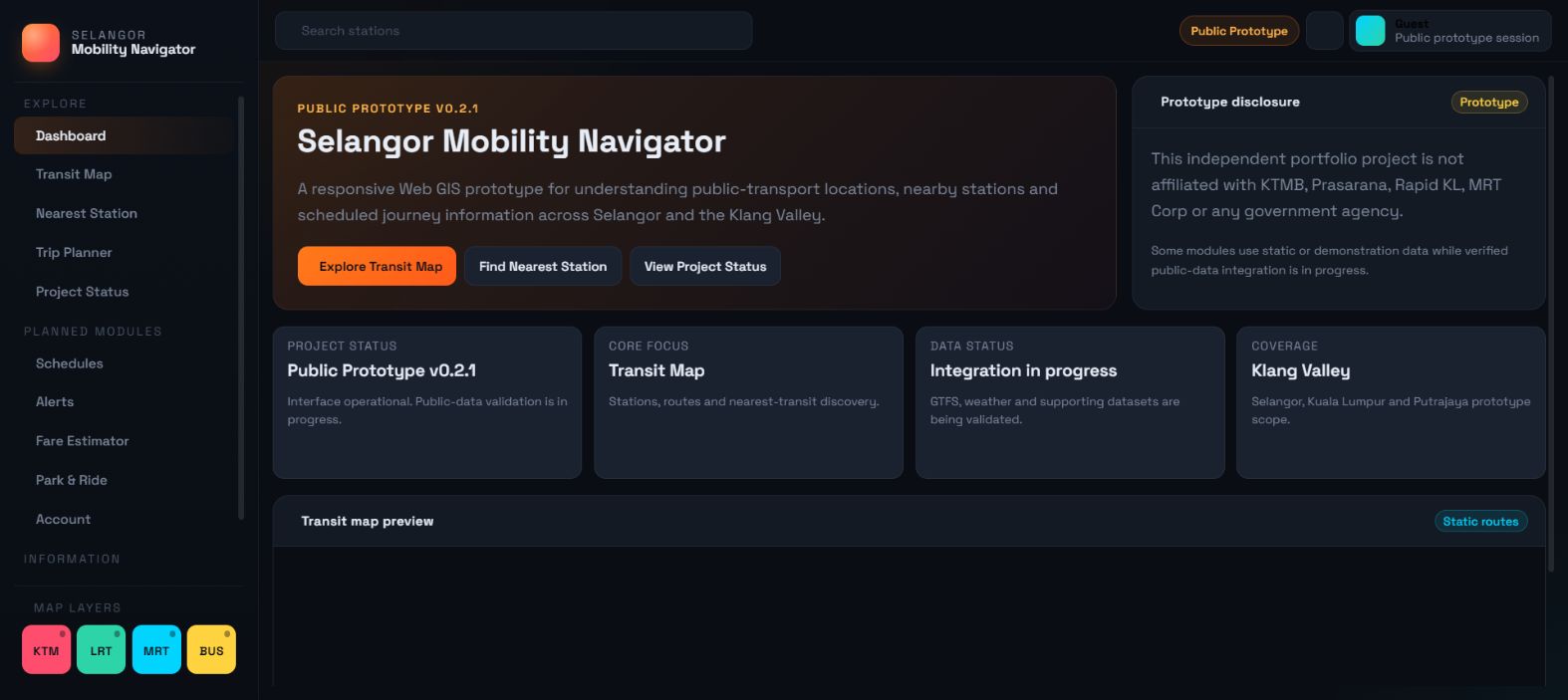
Find nearby KTM, MRT, LRT, BRT and bus connections, understand station locations and open navigation from one responsive Web GIS interface.
Cari stesen berdekatan, fahami laluan transit dan buka navigasi dengan lebih mudah.
Schematic vs. Geographic Reality
Schematic Transit Diagram
- Useful for network relationships
- Simplified geography
- Harder to understand real station surroundings
- Does not directly show the user’s current location
Geographic Web GIS
- Real-world location context
- Station discovery
- Nearby-transit analysis
- Route and station information
- External navigation options
Web GIS Interface Capabilities
Transit Map
Explore prototype station and route visualisations geographically.
Prototype Route geometry validation in progressNearest Station
Use location access to identify nearby transport points.
Prototype Geolocation with tested Haversine distance analysisStation Information
View available station, mode and route information.
Prototype Source-backed GTFS Static datasetPrototype Trip Planner
Explore the journey-planning interface and supported prototype route states.
Prototype Direct static route relationships with external fallbackGoogle Maps Navigation
Open directions to selected transport locations.
Available Deep linking to external navigatorResponsive Interface
Use the Web GIS on desktop, tablet and mobile.
Available Validated across major viewportsHow It Works
Open the application
Launch the Web GIS interface in your browser.
Allow location access
Allow location access to find nearby stations.
Select a station
Select a station or nearby transport point on the map.
Open navigation
Open navigation or explore route information.
Prototype Coverage
The prototype currently maps transit assets across key regions in the central Klang Valley conurbation.
Selangor
Core suburban networks
Kuala Lumpur
Central business district lines
Putrajaya
Administrative capital links
Klang Valley
Wider metropolitan scope
Transport Scope: KTM Komuter, MRT, LRT, BRT, and selected bus services.
Coverage, route geometry and station data are being progressively validated using public transport datasets.
Project & Data Status
Transparent status of current interface modules and data integration.
Note: Static data is not realtime. Prototype data is not official operator data. Verified data integration is ongoing.
Built as a Web GIS Portfolio Project
Technical Work Demonstrated
- Responsive Web GIS interface design
- Geolocation handling & privacy
- Nearest-location analysis with a tested Haversine calculation
- Map interaction & layer management (Leaflet)
- Route and station visualisation
- External navigation deep linking
- Cloudflare deployment & GitHub version control
- Release-based development & accessibility testing
Technology Stack
The project is built using modern, lightweight geospatial technologies:
Development Roadmap
Roadmap scope may change based on public-data availability and validation.
Explore the public prototype.
Open the current Web GIS interface, test its available features and review the project’s development status.
No login required.